
> Location and Description of Pleasley Parish
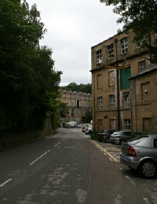
The area of Pleasley Parish Council includes Pleasley, New Houghton, Pleasley Vale and Stoney Houghton. The parish is situated between the nearby towns of Chesterfield and Mansfield and is approx 8 km south east of Bolsover, Derbyshire and 4 km north west of Mansfield, Nottinghamshire. Pleasley Parish is within the area of Bolsover District Council and is part of Derbyshire County Council. The River Meden forms part of the boundary between Derbyshire County Council and Nottinghamshire County Council and is also part of the Parish boundary.
Until 1983 when the pit closed Pleasley/New Houghton was a mining village. Hi-
What we do
County Council and Nottinghamshire County Council and is also part of the Parish boundary.
Parish Councils have a wide range of statutory obligations and permissive powers.
Set out below are the main functions of the Council:
-
-
-
-
-
-
-
-
-
Responsible for the proper running of the affairs of the Parish Council and representing all parts of the community